Soluções Topográficas de Alta Qualidade
Precisão e tecnologia para o seu projeto.
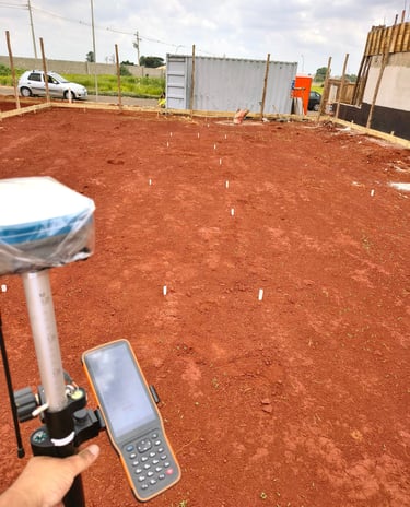
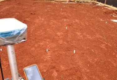
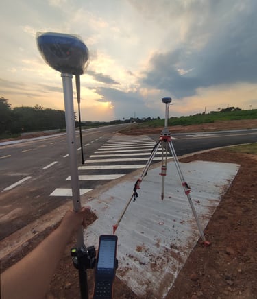
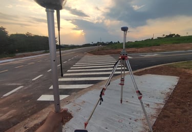
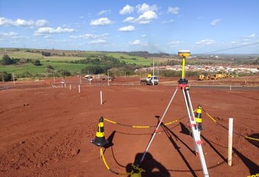
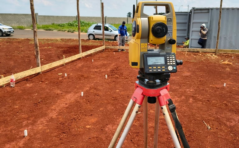
Levantamento Planialtimétrico
Resultados confiáveis e dentro dos prazos.
Georreferenciamento de imóveis rurais e urbanos.
Locação de obras e regularização fundiária.
Desmembramentos
Regularização Fundiária
Sobre Nós
Nova Terra Topografia
Precisão, Tecnologia e Compromisso com o Seu Projeto
A Nova Terra Topografia é referência em soluções topográficas de alta qualidade, atuando com excelência nos segmentos de levantamento planialtimétrico, georreferenciamento de imóveis rurais e urbanos, locações de obras, desmembramentos, retificações e regularização fundiária.
Com uma equipe técnica altamente qualificada e equipamentos de última geração – como drones, estação total e GNSS de alta precisão – garantimos resultados confiáveis, dentro dos prazos e com total segurança jurídica.
Nossa missão é entregar dados precisos para clientes da construção civil, agronegócio, engenharia e arquitetura, sempre com atendimento personalizado, transparência e foco em soluções inteligentes.
Seja qual for a complexidade do seu projeto, a Nova Terra está pronta para mapear o presente e construir o futuro com você.


Soluções Topográficas Avançadas
Oferecemos serviços de alta precisão em topografia, garantindo qualidade e segurança jurídica em projetos.
Levantamento Planialtimétrico

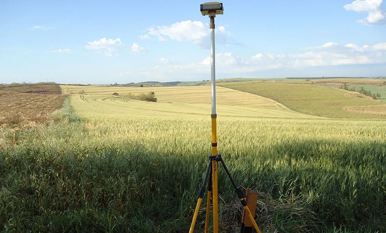
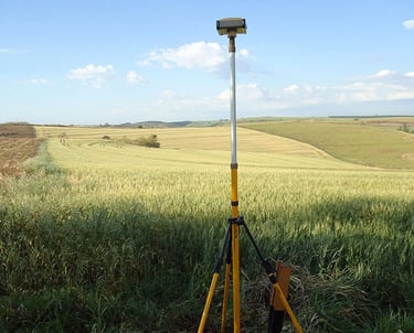
Georreferenciamento de Imóveis
Locação de Obras
Avaliações Clientes
Veja o que nossos clientes dizem sobre nossos serviços de topografia.
A Nova Terra Topografia superou nossas expectativas com precisão e agilidade nos serviços prestados.
Carlos Silva
São Paulo
A equipe da Nova Terra Topografia é extremamente profissional e atenta aos detalhes, garantindo resultados confiáveis e dentro do prazo estipulado. Recomendo a todos!
Maria Oliveira
Rio Claro
★★★★★
★★★★★
ATENDEMOS:
Hortolândia; Campinas; Sumaré; Monte Mor; Paulínia; Jaguariuna; Vinhedo; Valinhos; Americana; Piracicaba; Jundiaí e todo Estado de São Paulo
contato@novaterratopografia.com.br
+55 19 99659-2080
© 2025. All rights reserved.